
Lviv
ICAO: UKLL
IATA: LWO
Elev: 1 077 ft
FIR: UKLV Lviv
Coordinates:
49°48′35.00″N 23°57′30.00″E
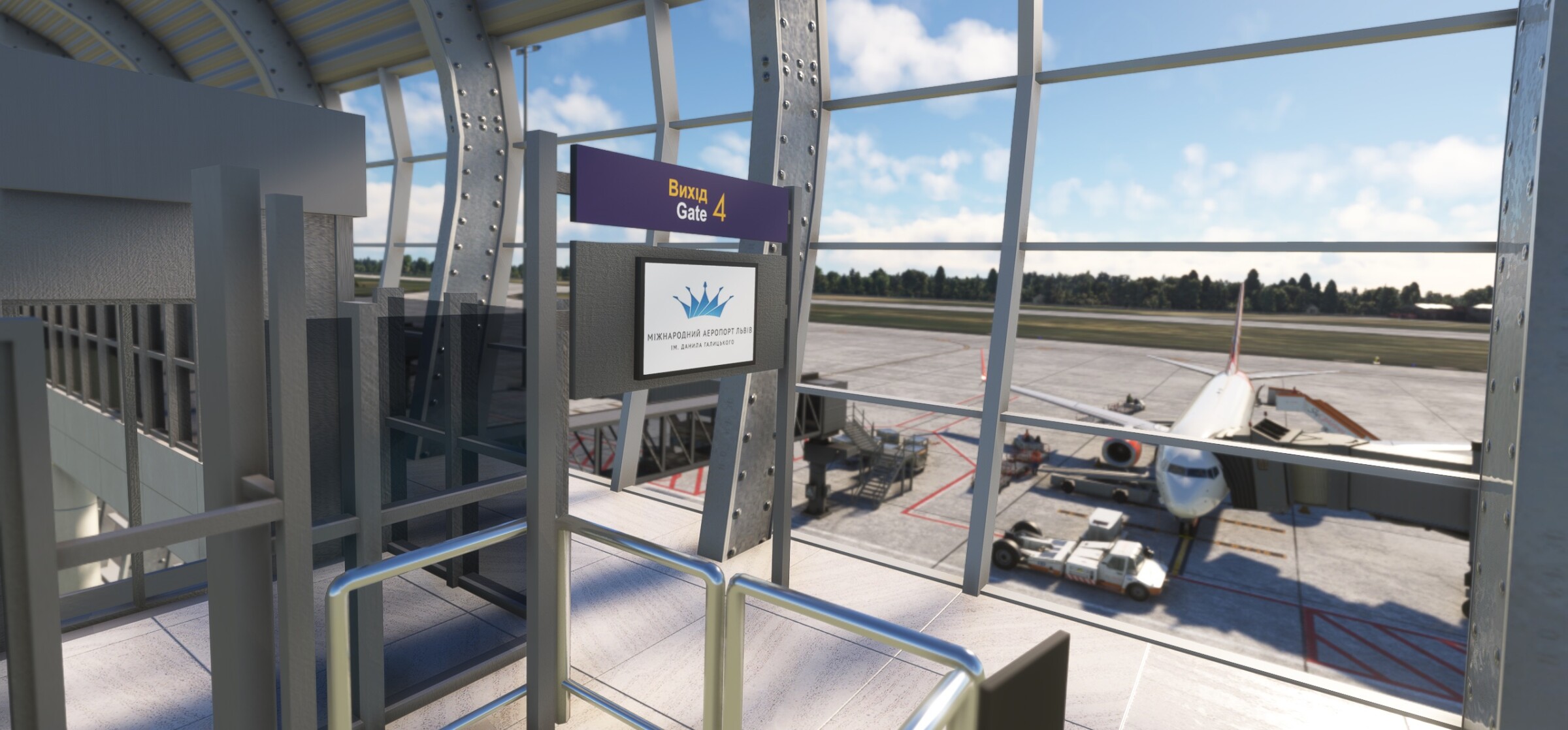
Lviv Danylo Halytskyi International Airport is one of the largest in western Ukraine, located 6 km from the city center. It features a modern terminal built for Euro 2012 and, before 2022, hosted many European airlines and international connections.
© Photo: Arne Müseler / arne-mueseler.com / CC-BY-SA-3.0
Quick links
Quick links:
Runways
13
130°
10 843 x 148 ft
3 305 x 45 m
Elev: 1 069 ft
Slope: 0.05°
2 kts
11 kts
31
310°
10 843 x 148 ft
3 305 x 45 m
Elev: 1 074 ft
Slope: -0.05°
2 kts
11 kts
Weather
Partly cloudy

20 C°
303°
6 m/s | 11 kts
Wind gusts
up to 12
m/s | 23 kts
Pressure
1017 hpa
Visibility
10+
km
Precipitation
0 mm
Humidity
43%
Clouds
66%
5 minutes ago
METAR
UKLL 081430Z 25014KT CAVOK 28/13 Q1019
TAF
                    UKLL 081430Z 0815/0915 24013KT CAVOK

            BECMG 0817/0820 VRB02KT

            BECMG 0909/0912 09010KT
ATC
For the previous 24 hours
| Position | ATIS | Frequency | Duration | Controller | Online |
|---|---|---|---|---|---|
| UKLV_CTR |
ts-1.eu-west-2.ivao.aero/UKLV_CTR
RMK SPP TRAINING IN PROGRESS DO NOT CONTACT / NO ATS SERVICE
04.07.2026 11:50 UTC
|
134,050 MHz |
2
h.
45
min.
|
1 hour ago 1h ago | |
| UKBU_CTR |
ts-1.eu-west-2.ivao.aero/UKBU_CTR
TL FL110 TA 10010ft RMK ENGLISH ONLY RADIOTELEPHONY COMMUNICATION / UKBB DEP 36R 36L ARR 36R QNH 1009 EXPECT WHISKEY ARRIVAL / UKKK DEP 26 ARR 26 QNH 1009 / UKOO DEP 34 ARR 34 QNH 1007 / UKHH DEP 25 ARR 25 QNH 1007 / UKLL DEP 31 ARR 31 QNH 1016
03.07.2026 19:10 UTC
|
136,400 MHz |
1
h.
30
min.
|
18 hours ago 18h ago | |
| UKBU_CTR |
03.07.2026 15:50 UTC
|
136,400 MHz |
1
h.
11
min.
|
21 hours ago 21h ago |
Flights
For the previous 24 hours
| Callsign | STS | Departure | Destination | Aircraft | Pilot | Online |
|---|---|---|---|---|---|---|
| SQP25F |
Departing
Altitude: 412 ft
Speed: 5 kts
Heading: 093°
04.07.2026 13:34 UTC
|
UKBB
|
UKLL
|
B738 | Now | |
| AEW717 |
En Route
Altitude: 10512 ft
Speed: 280 kts
Heading: 322°
ETA: 13:40 utc
04.07.2026 13:34 UTC
|
UKLL
|
DAAG
|
B738 | Now | |
| DHK1406 |
On Blocks
Altitude: 484 ft
Speed: 0 kts
Heading: 262°
04.07.2026 11:09 UTC
|
UKLL
|
EDDP
|
B77L | 2 hours ago 2h ago | |
| KLM1682 |
On Blocks
Altitude: 331 ft
Speed: 0 kts
Heading: 274°
03.07.2026 22:56 UTC
|
UKLL
|
EPWA
|
A21N | 14 hours ago 14h ago | |
| SUP2 |
On Blocks
Altitude: 336 ft
Speed: 0 kts
Heading: 277°
03.07.2026 22:56 UTC
|
UKLL
|
EPWA
|
F70 | 14 hours ago 14h ago | |
| HSC43E |
On Blocks
Altitude: 336 ft
Speed: 0 kts
Heading: 276°
03.07.2026 22:53 UTC
|
UKLL
|
EPWA
|
F70 | 14 hours ago 14h ago | |
| RYR29W |
Boarding
Altitude: 1082 ft
Speed: 0 kts
Heading: 044°
03.07.2026 21:14 UTC
|
UKLL
|
EPWA
|
B738 | 16 hours ago 16h ago | |
| DHK1405 |
On Blocks
Altitude: 1063 ft
Speed: 0 kts
Heading: 062°
03.07.2026 18:44 UTC
|
LTFM
|
UKLL
|
B77L | 18 hours ago 18h ago | |
| HSC2103 |
Boarding
Altitude: 1060 ft
Speed: 0 kts
Heading: 046°
03.07.2026 17:54 UTC
|
UKLL
|
UMMG
|
F70 | 19 hours ago 19h ago | |
| HSC2102 |
On Blocks
Altitude: 1062 ft
Speed: 0 kts
Heading: 046°
03.07.2026 17:41 UTC
|
UMBB
|
UKLL
|
F70 | 19 hours ago 19h ago | |
| HSC2101 |
On Blocks
Altitude: 470 ft
Speed: 0 kts
Heading: 115°
03.07.2026 16:54 UTC
|
UKLL
|
UMBB
|
F70 | 20 hours ago 20h ago | |
| HSC3G |
On Blocks
Altitude: 1064 ft
Speed: 0 kts
Heading: 045°
03.07.2026 15:53 UTC
|
EHAM
|
UKLL
|
F100 | 21 hours ago 21h ago | |
| EZY2LW |
On Blocks
Altitude: 1080 ft
Speed: 0 kts
Heading: 041°
03.07.2026 15:52 UTC
|
EHAM
|
UKLL
|
A320 | 21 hours ago 21h ago | |
| AUI2M |
On Blocks
Altitude: 1051 ft
Speed: 0 kts
Heading: 046°
03.07.2026 15:20 UTC
|
UKBB
|
UKLL
|
B772 | 22 hours ago 22h ago |
IVAO NOTAMS
UA030024022022/22
All special operations flights are prohibited over the entire territory. All flights simulating military and civil SO are also prohibited over the entire territory. Users violating the IVAO Rules and Regulations can be subject to a suspension issued by a Network Supervisor or authorised administrator on behalf of the Executive Council.
Updated at: 14.05.2026 00:00 UTC
UAWX002/24
MAXIMUM ALLOWED AIRCRAFT TYPE B772 / B77L
METAR NOT AVAILABLE. CHECK WEATHER INFORMATION ON
https://ua.ivao.aero/wx
Updated at: 12.02.2025 09:00 UTC
Runways
13
130°
10 843 x 148 ft
3 305 x 45 m
Elev: 1 069 ft
Slope: 0.05°
2 kts
11 kts
31
310°
10 843 x 148 ft
3 305 x 45 m
Elev: 1 074 ft
Slope: -0.05°
2 kts
11 kts
Weather
Partly cloudy
20 C°
303°
6 m/s | 11 kts
Wind gusts
up to 12
m/s | 23 kts
Pressure
1017 hpa
Visibility
10+
km
Precipitation
0 mm
Humidity
43%
Clouds
66%
5 minutes ago
METAR
UKLL 081430Z 25014KT CAVOK 28/13 Q1019
TAF
                    UKLL 081430Z 0815/0915 24013KT CAVOK

            BECMG 0817/0820 VRB02KT

            BECMG 0909/0912 09010KT